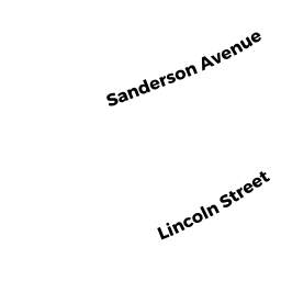
19 SANDERSON AVE
Owner Information
GUERRIERO STEPHEN A
19 SANDERSON AVE
DEDHAM, MA 02026


Property Details
19 SANDERSON AVE is classified as a Single Family Residential (Colonial).
The primary structure on this property was built in 1950. There are 2,082ft2 of built area within this property. There is 1,372ft2 of residential/living space within this property. This property is listed as having 6 rooms.
19 SANDERSON AVE is valued at $450,400. The land is valued at $264,000 and the structures are valued at $178,700. There is an additional valuation of $7,700 on this property.
This property is in Zone B. Confirm with local Zoning Board authorities to ensure there are no overlays or other easements on this property.
The most recent deed for 19 SANDERSON AVE is recorded at the local registrar in Book 23718, Page 169. 19 SANDERSON AVE was last sold on Tuesday, May 30, 2006 for $340,000.
Assessment data from fiscal year 2020.
Flood Data
According to the FEMA National Flood Hazard Layer, this property does not appear to be in a flood zone. It may also be in an area not yet reviewed. Nonetheless, confirm this information prior to taking any action.
To view the flood hazards around this property, create a FEMA "Firmette" Map of the area around 19 SANDERSON AVE.
Broadband Internet Providers
| Provider | Type | Bandwidth (mbps) | |
|---|---|---|---|
| RCN | Cable | 1000 | 20 |
| Verizon New England Inc. | Fiber | 940 | 880 |
| HughesNet | Satellite | 25 | 3 |
| Viasat Inc | Satellite | 100 | 3 |
| VSAT Systems, LLC. | Satellite | 2 | 1 |
| Comcast | Cable | 1000 | 35 |
| RCN | Cable | 500 | 20 |
| GCI Communication Corp. | Satellite | 0 | 0 |
| Verizon New England Inc. | DSL | 5 | 0 |
Broadband service provider data from December 2020.
Adjacent Properties
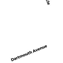
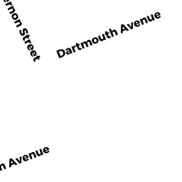
- 14 DARTMOUTH AVE
Single Family Residential owned by FISHER MARGARET S - 20 DARTMOUTH AVE
Single Family Residential owned by COUTTS CHRISTOPHER ETUX - 10 DARTMOUTH AVE
Single Family Residential owned by DRISCOLL KATHLEEN P - 15 SANDERSON AVE
Two-Family Residential owned by EDWARD J GODDARD TRUST - 29 SANDERSON AVE
Single Family Residential owned by DELLO IACONO LIZA